Where are we in Châtel ?
The campsite is located 1.5 km below the center of the village of Châtel.
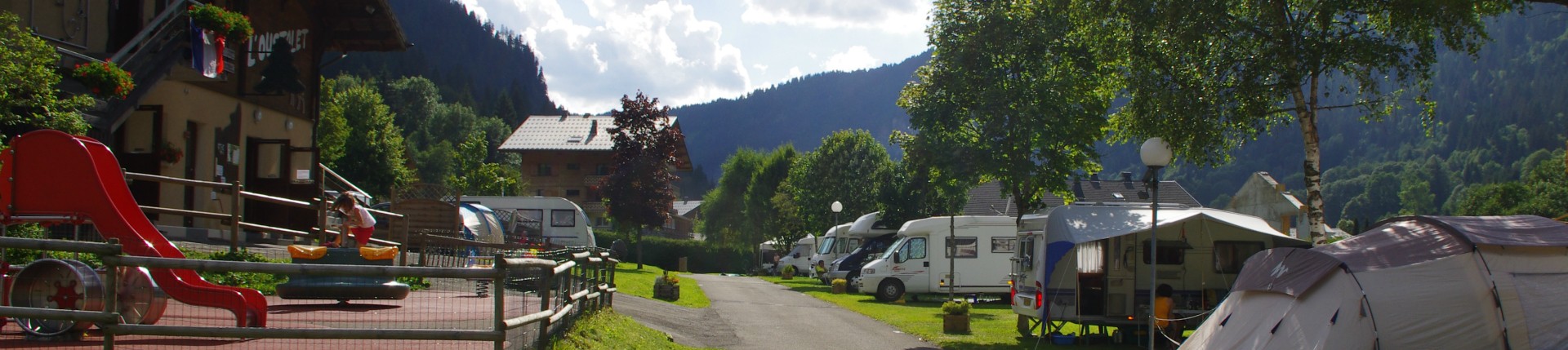
In the summer, the campsite is located close to hiking trails and mountain bike trails, 300m from the "Leisure Center of Loy" (mini-golf) and a sports shop Allowing you to rent your mountain bike.
In winter, the campsite is 600m from the ski slopes (Linga ski area connected to the Portes du Soleil) and 200m from the ESF (club piou-piou - Village des Marmottons) and Proximity of walking paths and snowshoes trails.
How to move in Châtel ?
In summer as in winter, a free shuttle service "Châtel Bus" is at your disposal with 2 stops in front of the campsite. This one will allow you to go in a short time in each sectors of Châtel (more information click here).
How to go to Châtel ?
GPS Coordinates : N46°15'27.471'' (46.257)
E6°49'47.386'' (6.8299)
By car:
From France: From the motorways A40 (Nantua) and A41 (Chambéry - Annecy) take exit n°15 on the A40 (Vallée Verte - Thonon / Evian / Boege / Saint-Jeoire), go as far as Thonon-les- Bains. Take the Thonon-Les-Bains bypass and take the exit n°1 (Vallée d'Abondance - Châtel).From Switzerland: Take the direction of Monthey-Grand Saint Bernard, leave the motorway at Monthey (exit Portes du Soleil / Saint-Triphon), then take the direction of Morgins ( Border ski resort of Châtel).
By train:
From France: Train station of Thonon-les-Bains at 40 kms from Châtel, correspondence provided by bus or taxi.From Switzerland: Train station of Aigle 25 kms from Châtel, correspondence provided by bus or taxi.
